
Kannapolis Neighbors by Block
A block search should begin by defining what “neighbor” means in the source. An adjoining parcel is a geometry finding. A street-guide entry is a historical address finding. A voter result is a regulated registration result. A city community page is an organizational contact route. These sources can be useful together, but they do not create a complete present-day household list. Use only the narrow source needed for the question and preserve its date.
| Source | What It Shows About a Block | Access |
|---|---|---|
| Map Cabarrus | Parcel geometry, address, owner or parcel search, layers, and map context. | Free online viewer; its map is not a legal document. |
| Cabarrus Real Estate Search | Tax-account and parcel details that can point toward a deed or plat. | Online, with at least one search value required. |
| NC voter lookup | Current or recently maintained registration information within statutory limits. | Online name and status search; limited written-list route by statute. |
| Directory street guides | Dated numbers, occupants, and address clues for historical blocks. | Digital scans and library collections; issue scope varies. |
| City community resources | Public boards and community-organization contact context. | City online directory, not a household roster. |
Owners, occupants, and nearby community contacts are separate categories. A tax mailing address can differ from a parcel’s situs address. A historical directory can list a subscriber or household at a source-year address. Treat each as a limited, dated record rather than a conclusion about who your Kannapolis neighbors are now.
Kannapolis Block Boundaries First
Kannapolis crosses Cabarrus and Rowan counties. A municipal label, street match, or postal city can therefore lead to the wrong tax, recorder, court, or addressing system. Start from the exact address and use parcel geometry to determine the county. Then retain county, municipal city, postal city, parcel or PIN, subdivision and lot, and source date as separate fields. A block near the county line may require Rowan systems even when a nearby Cabarrus result appears first.
ZIP codes also are not block boundaries. The city’s official ZIP list and USPS result can normalize delivery wording, but Map Cabarrus is the documented parcel route for Cabarrus-side geometry. The city’s planning and addressing work spans both counties. When the county remains uncertain, do not use a nearby parcel as a substitute for the address being researched.
Note: A Kannapolis mailing label is not sufficient evidence that a parcel, record, or block belongs to Cabarrus County.
Kannapolis Addressing Before Neighbors
New subdivision addresses can appear at different stages. The City of Kannapolis addressing process says preliminary addresses may be available through Accela during review. After final plat recordation and parcel splits, official addresses are entered into the database, and an update may occur overnight before the address is visible in Accela. Cabarrus Addressing maintains the E911 and GIS master address database and identifies a 14-business-day assignment target after final plat.
The city’s documented preliminary and final address process is visible at the linked source.
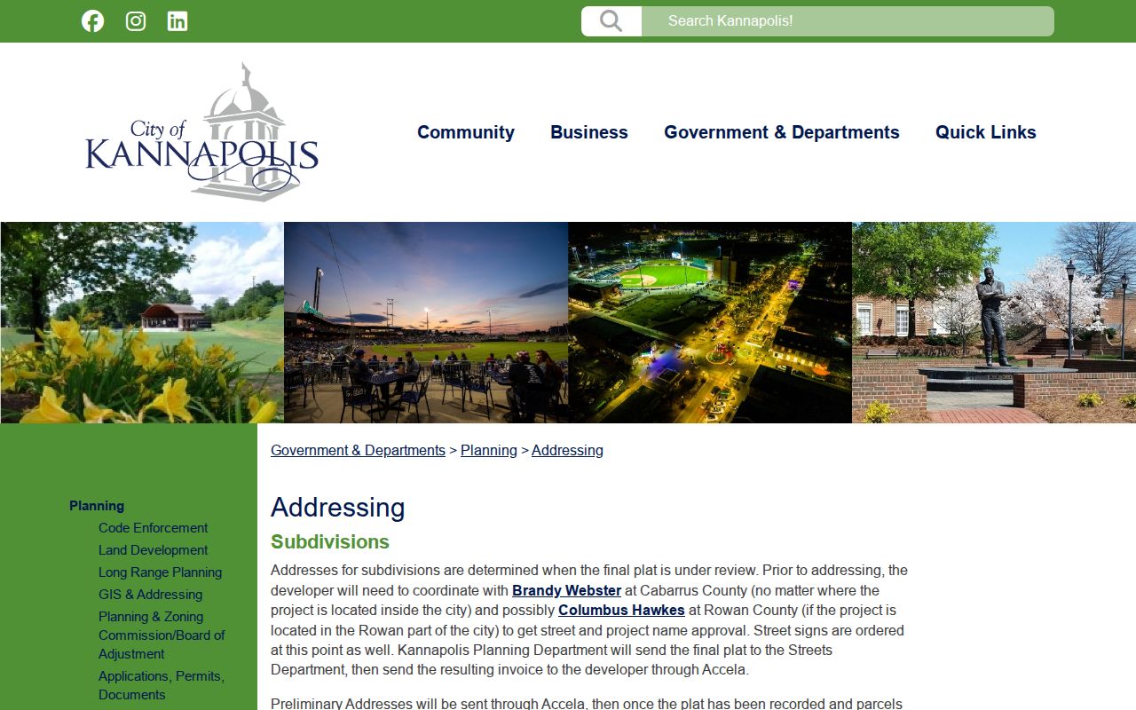
The timing explains why a new address may appear in one system before the parcel, tax, or map layer has caught up. It does not establish a current occupant or a finished neighborhood boundary.
Insider tip: preserve the application, final plat, parcel-split, and lookup dates when sources disagree. That short timeline is safer than guessing that a new address represents a settled block record.
Map a Kannapolis Block
Map Cabarrus accepts address, owner, or parcel searches and can display parcel detail, historic aerials, zoning, flood, and other layers. Begin with one verified address, not a broad name. Select the parcel, save its PIN and geometry, and inspect the immediately surrounding parcel shapes. The viewer offers search, layers, parcel information, printing, measurement, and a copy-link function. The county warns that the map is not a legal document, so use a recorded deed or plat for a legal conclusion.
- Normalize the starting address and confirm its county before opening a map result.
- Search the address or PIN, select the parcel, and retain the map date, geometry, and parcel identifiers.
- Inspect adjoining or nearby parcel shapes and note only the source-year adjacency shown by the map.
- Use tax detail for deed or plat pointers, then use the county recorder for any ownership question that needs a primary record.
- Switch to the Kannapolis street directory when the question expands from one block to a whole named street.
A map can show that parcels touch. It cannot prove a personal relationship, current residency, or an informal definition of “neighbor.”
Kannapolis Parcel Geometry Limits
A parcel record is a strong local anchor because it can carry a PIN, OLDPIN, legal description, subdivision, lot, deed and plat references, sale fields, and map geometry. It is still not a household census. Tax systems can show a mailing address separate from a situs address, and a sale field must be checked against the recorded instrument before it is described as a transfer. Parcel data helps place a block, not fill in unknown personal details.
- Parcel
- A mapped unit of land used in county tax and GIS systems. Its boundaries help identify a research location.
- Situs address
- The physical address of a parcel, distinct from an owner’s mailing address.
- Plat
- A recorded map that can identify lots, blocks, streets, and subdivision layout.
- Adjacent parcel
- A parcel touching or near another parcel in the mapped source. It does not establish a current social relationship.
The tax record is a pointer. Preserve its tax year, account or PIN, deed and plat reference, and disclaimer, then move to the appropriate Register of Deeds record for the primary land document.
Kannapolis Street Names by Year
Street names and number forms can change through road petitions, subdivision development, annexation, and postal redesignation. The Cabarrus reserved and current street-name search is useful for testing current spelling and E911 naming. It is not evidence of when a road was first occupied. For an effective rename or abandonment date, seek the recorded road petition, plat, or other county record.
The street-name search is shown at its official Cabarrus source.
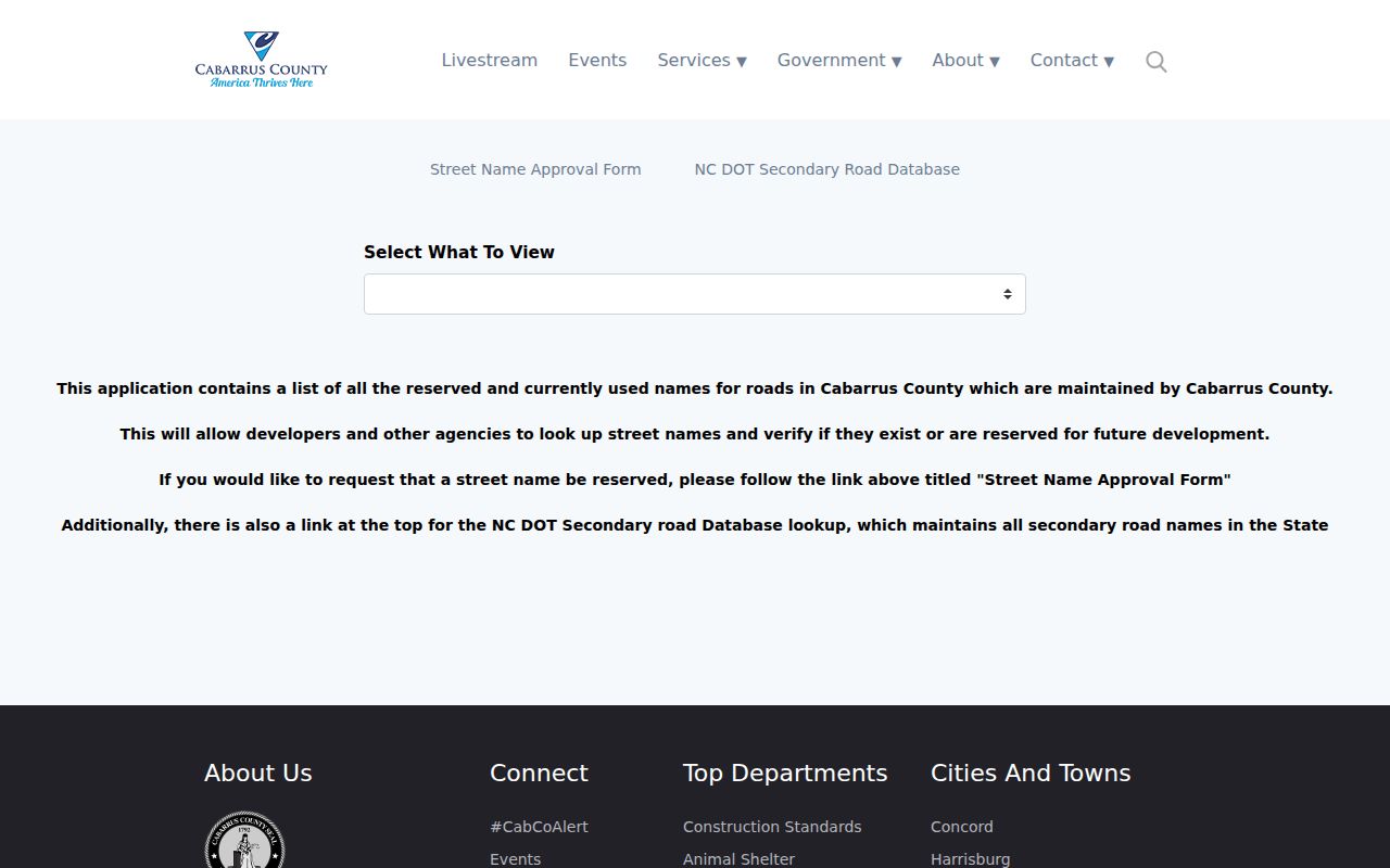
Compare the current name with historic directory wording, a 1926 Sanborn sheet, and Map Cabarrus aerials back to 1938 before deciding that two labels represent the same block.
Kannapolis Community Context
The city’s public Get Involved directory is an official umbrella route for city boards and community-organization context. It is not a neighborhood household roster. The inspected research did not locate a named neighborhood-association roster that could support a block-by-block membership claim. Use community organizations as a way to identify a public contact or local-history lead, and do not turn an organization page into evidence that a person lives nearby.
The city community-organization route is shown at the linked official source.
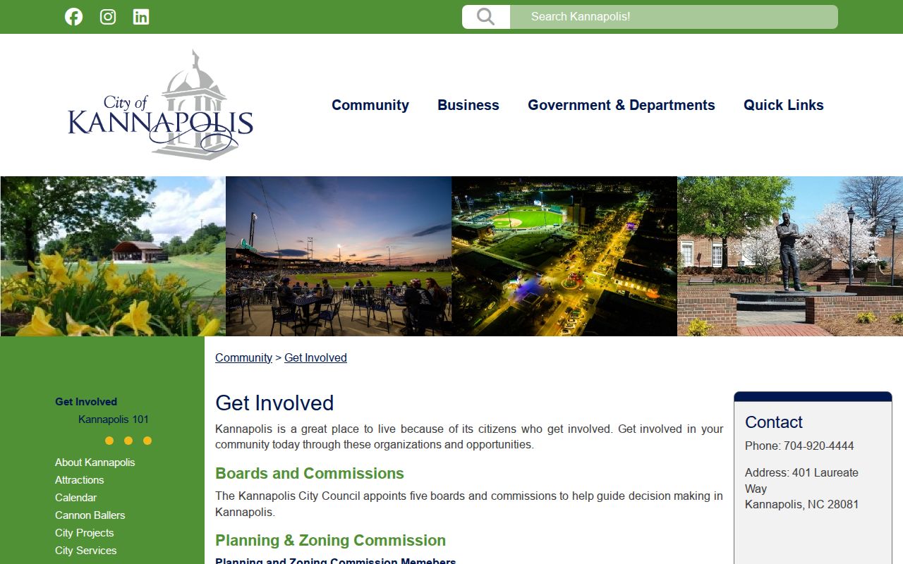
The image supports a community-context route, while parcel and historical sources remain the better tools for address-specific questions.
| Community resource | What it can provide | Access boundary |
|---|---|---|
| City Get Involved directory | Public boards and organization context. | Use the posted city contact route; it is not a resident list. |
| Kannapolis History Associates | Local records, memorabilia, newspapers, and Hinson Room leads. | Confirm item availability and terms with the holding institution. |
| Cabarrus Library Hinson and Lore resources | Yearbooks, scrapbooks, microfilm, directories, newspapers, and cemetery leads. | In-person or collection access may be required. |
These routes add source context. They do not replace a parcel, recorded plat, or dated street guide.
Kannapolis Neighbor Data Limits
The North Carolina Voter Search uses first name, last name, and voter status, with optional middle initial, year of birth, and county filters. A result can include registration status, jurisdiction or precinct, polling place, sample-ballot information when available, absentee information, and voter history. A no-result may reflect spelling, list maintenance, a recent move, county confusion, status selection, or a protected record. It is not proof that a person does not live at an address.
North Carolina law distinguishes public and confidential voter fields. SSN, date of birth, email, ID information, agency information, and protected signature material must not be republished. Written voter-list requests can have a statutory route and actual-cost handling, but the research did not locate a Cabarrus-specific request form, fee, delivery format, or turnaround. Use the Board of Elections and current statute for that specific request rather than assuming a ZIP or block export exists.
| Official record route | Commercial compiled report |
|---|---|
| Shows a defined source with a custodian, date, and field limits. It can be checked against a parcel or court record. | May combine dated records, merge similar names, charge for access, or retain stale address material. Treat it only as a lead. |
Historical Kannapolis Neighbors
Historical blocks have their own language. The 1926 Sanborn map supplies street and building context, while Map Cabarrus aerials reach back to 1938. Directory street guides from 1940 and later located issues can show numbered streets, named streets, and dated household clues. Cannon Mills also shaped the local record landscape: city history describes a company-town context with approximately 1,600 mill-built homes and community facilities. A mill-village label, rural route, or street section should be confirmed in a map, directory, plat, or institutional source.
Myth: a person listed at an adjacent number in an old directory is not automatically a modern neighbor. State the narrower conclusion instead: the source shows a same-street, same-block, or parcel-adjacent connection in a stated year. That wording respects both the history and the limits of the record.
For older blocks, the Hinson Room, the Cabarrus Library’s local-history resources, and the 1926 Sanborn map are documented handoffs when a parcel map alone cannot explain the period street layout.
Kannapolis Neighbor Safety
Use neighbor research for a narrow civic, family-history, property-context, or personal-safety question. Public availability does not justify joining a person’s address, relatives, routines, phone number, voter history, and other sensitive data into a profile. Keep results minimal and link back to the official source or historical collection. If a source is sealed, restricted, or protected, do not use alternate spellings, cached material, or a second portal to work around that limit.
Lawful use. North Carolina records may not be used to stalk, harass, intimidate, threaten, or harm anyone. For a threat or immediate danger, use the appropriate public-safety route rather than conducting more address research.
The North Carolina Address Confidentiality Program protects eligible survivors, and voter, vital, court, and military-discharge records can have additional restrictions. Those boundaries are part of an accurate Kannapolis neighbors search, not an obstacle to bypass.