
Kannapolis ZIP Code Coverage
The City of Kannapolis ZIP page identifies eight ZIP codes associated with the city: 28036, 28027, 28025, 28083, 28023, 28078, 28081, and 28088. It is a city-published reference list, not a map of neighborhood borders. The inspected city material does not assign an individual neighborhood, delivery office, or carrier area to each code. Keeping that limit visible prevents a postal label from becoming a claim about a block, a municipal boundary, or a county record.
| ZIP Code | City-Published Coverage | Post Office | Research Note |
|---|---|---|---|
| 28036 | Included in city list | Validate by address | No official area assignment located. |
| 28027 | Included in city list | Validate by address | No official area assignment located. |
| 28025 | Included in city list | Validate by address | No official area assignment located. |
| 28083 | Included in city list | Validate by address | No official area assignment located. |
| 28023 | Included in city list | Validate by address | No official area assignment located. |
| 28078 | Included in city list | Validate by address | No official area assignment located. |
| 28081 | Included in city list | Validate by address | No official area assignment located. |
| 28088 | Included in city list | Validate by address | No official area assignment located. |
Use this Kannapolis ZIP code directory table to preserve the city’s list exactly, then let a delivery lookup answer an address-specific question. A code can serve more than one locality. The city list gives the local scope, while the delivery result gives the correct postal form for one mailbox.
Kannapolis ZIP Directory Postal Names
Postal city and municipal city are separate fields in Kannapolis. The city says six of its listed codes historically used other postal city names, including Davidson, Concord, Huntersville, Landis, and China Grove. The inspected source does not provide a code-by-code crosswalk for those names, so assigning one would add a fact the record does not support. Retain the municipal designation and postal response together instead of replacing one with the other.
The city-published ZIP guidance appears on the Kannapolis planning page.
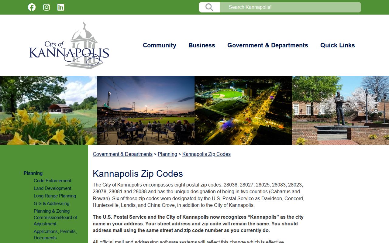
The image documents the city list and the postal transition explanation, not a promise that every code represents a unique Kannapolis area.
Myth: a Kannapolis postal name does not prove Cabarrus County jurisdiction. Some city parcels are in Rowan County, so parcel geometry and the county result still select the tax, deed, and court custodian.
Validate a Kannapolis ZIP
For a specific address, use the USPS ZIP Code Lookup before opening a county record. Enter the street number, directional prefix, street name, street type, unit, city, and state as they are known. Retain the returned city, ZIP, ZIP+4, and standardized street form. The postal result is useful for normalization, but it does not identify a parcel owner, establish occupancy, or choose the correct county office.
The USPS lookup screen is the direct delivery-point route used by the Kannapolis ZIP code directory.
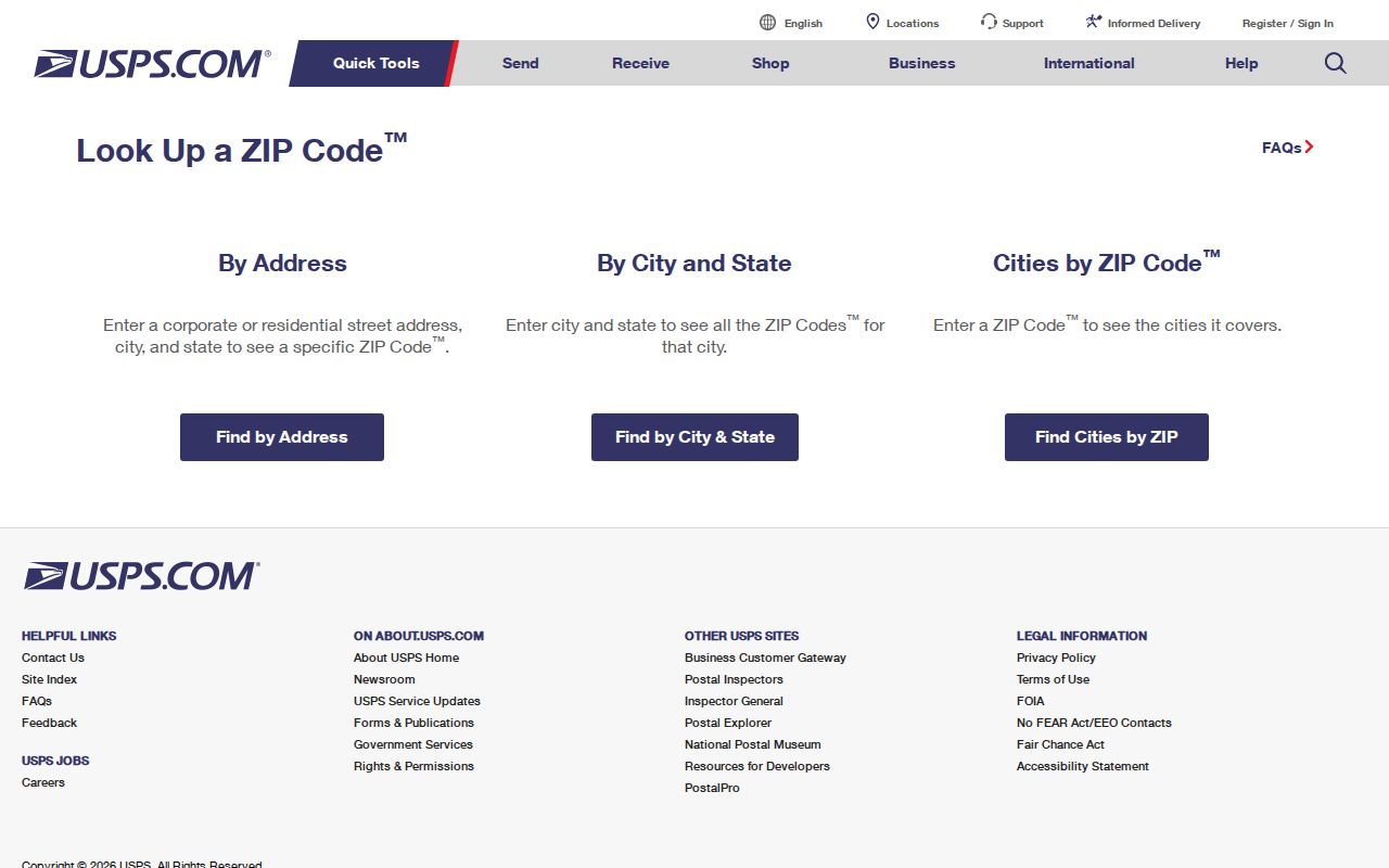
Copy the standardized result into a research note, then compare it with the municipal city, county parcel result, and historic spelling when those differ.
Kannapolis ZIP Search Fields
Cabarrus County’s Real Estate Search does not make ZIP its main visible query. It breaks a property address into house number, unit, direction, street name, type, suffix, and municipality. At least one search value is required. That makes the standardized USPS address more useful than a broad ZIP-only attempt. A returned tax account is a current property lead, not proof that someone lives at the address or a complete title history.
| Field group | County presentation | ZIP research use |
|---|---|---|
| Property address | House, unit, direction, street, type, suffix, municipality | Match the USPS-standardized address. |
| Parcel number | Sheet, block, parcel, interest | Carry parcel identity into GIS and deed work. |
| TMP | TP, map, M, parcel, suffix | Use when an older county reference supplies this format. |
| Owner or account | Last name, first name, account number | Use after an address or parcel narrows the result. |
Map Cabarrus can then join the address to parcel geometry, with mailing-address fields and map layers. A Rowan-side result needs Rowan County systems, even when the postal city says Kannapolis.
USPS AIS for Kannapolis Addresses
The USPS AIS Viewer is a postal address-quality reference rather than a resident roll. Use it when an address has conflicting directional wording, street-type abbreviations, or delivery formatting that needs a second postal reference. It cannot convert a ZIP into a municipal boundary or resolve a property record by itself. Preserve which system supplied each field and the date it was checked.
The AIS reference shown here is separate from the city’s eight-code list.
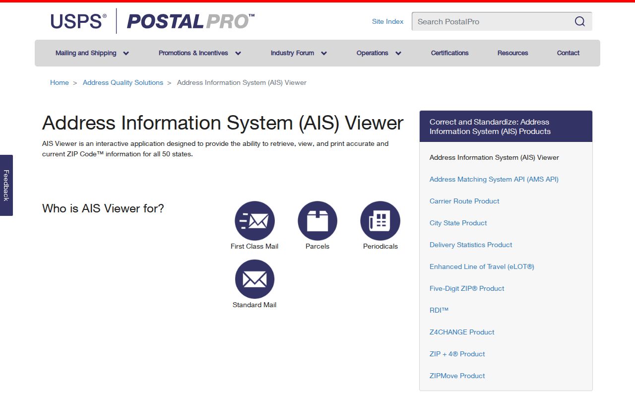
Pairing the two sources keeps delivery formatting distinct from local jurisdiction and parcel identity.
Kannapolis ZIP Directory Workflow
A useful Kannapolis ZIP code directory search narrows a real address instead of attempting to identify a whole population from a routing code. The city list gives project scope, USPS supplies delivery format, and county systems supply parcel and jurisdiction evidence. This also avoids treating a tax mailing ZIP or a voter mailing field as the same thing as a physical location.
- Record the original address and ZIP printed on the document or directory entry.
- Run the exact street and unit through USPS, then save the returned city, ZIP, ZIP+4, and standardized form.
- Search address components in Cabarrus property and GIS tools, or switch to Rowan County systems when the parcel result requires it.
- Keep postal city, municipal city, county, situs address, and mailing address as separate values.
Once the county and parcel are known, the Kannapolis street directory has the fuller address-by-address record path. A ZIP is a filter, but the street and parcel are stronger local record keys.
Kannapolis Addressing Before ZIP
New subdivision records need an extra timing check. The city says preliminary addresses can appear in Accela during review. The official address arrives after final plat recordation and parcel splits, and the database can update overnight before the address appears in Accela. Cabarrus Addressing describes an E911 and GIS master address database and states a 14-business-day service target after a final subdivision plat. Those steps describe address administration, not occupancy.
Insider tip: if a new address appears in one source but not another, save the plat date, parcel status, and lookup date before assuming the street or ZIP is wrong. The city addressing process and Cabarrus addressing office are the documented routes for the civic-address question.
Note: Preliminary, postal, and parcel fields can update on different schedules, so record the source date with every Kannapolis ZIP code result.
Kannapolis ZIP Boundary Limits
ZIP codes are delivery-routing constructs. They are not city limits, county lines, neighborhood borders, or proof that a person lives at an address. Kannapolis crosses Cabarrus and Rowan counties, and the city’s postal-name history shows why a mailing label cannot select a recorder or clerk. Use parcel geometry, county result, deed reference, and civic address to settle the local record path.
- ZIP+4
- An added delivery segment used with a ZIP code for a more precise postal destination. It is still not a parcel boundary.
- PO-box ZIP
- A ZIP used for post-office-box delivery. The inspected Kannapolis sources do not identify any city-listed code as box-only.
- Unique ZIP
- A ZIP assigned for a single organization or destination. No Kannapolis unique-ZIP assignment was located in the inspected official sources.
- Carrier route
- A postal delivery grouping. It helps mail processing and does not define a municipal neighborhood.
Use these labels as postal terms, not shortcuts for resident, jurisdiction, or property conclusions.
Historical Kannapolis ZIP Labels
Older records may use a rural route or postal place that differs from current municipal wording. The 1956 Hill directory includes China Grove, Landis, and rural routes from the Kannapolis post office. Historical entries should retain their printed geographic wording. Replacing it with a modern Kannapolis label can hide the county, route, or directory scope that explains where the listing belonged.
DigitalNC’s 1940 Greater Kannapolis directory record is a useful route for dated local directory evidence. Pair a printed address with the year, page heading, and scan link, then use modern postal and parcel tools only as later comparison points. The scan is historical evidence, not current address confirmation.
Kannapolis ZIP Research Notes
A careful note separates the original address string from the normalized delivery address. It records municipal city, postal city, ZIP and ZIP+4, county, parcel or PIN, source date, and the source that supplied each value. That makes it possible to revisit a disagreement without blending a postal response, a tax mailing field, and a historic directory into one unsupported answer.
The city ZIP page, USPS lookup, city and county addressing offices, tax search, and parcel map are complementary channels. None replaces the others. If an official source is unavailable or a county result remains unclear, keep jurisdiction unresolved rather than guessing from the ZIP.
The North Carolina Voter Search is a name-and-status tool, not a ZIP-wide resident search. Its public result and any voter-list request are governed by field restrictions, and the research did not locate a Cabarrus request form, fee, delivery format, or turnaround. When an address is relevant to a civic record, verify the county and use the official election route for the narrow question. Do not treat a voter mailing field as a city limit, parcel boundary, or current occupancy finding.