
Search a Kannapolis Street
Address-keyed records answer different parts of a Kannapolis street question. The tax and GIS systems can join a civic address to a parcel and deed reference. A recorded deed can identify the people or entities in a transfer. A dated city or telephone directory can show a subscriber or householder for its edition. Voter information has separate statutory limits. No single source identifies every person at an address, and a tax mailing address is not proof of occupancy.
Start with a standardized street address. Keep house number, direction, street name, type, suffix, unit, postal city, ZIP, county, and source date apart. If a search result is near the municipal edge, resolve the county from the parcel geometry before using Cabarrus systems. A Rowan-side parcel needs the equivalent Rowan tax, GIS, and Register of Deeds route.
- Normalize the address through city or county addressing and USPS formatting. Preserve the original spelling as a historical-search variant.
- Search Cabarrus Real Estate Search and Map Cabarrus by address, then save the parcel, PIN, old PIN, account, legal description, and county result.
- Open the parcel detail and note its deed book/page, plat book/page, sale fields, and visible map layers. Treat these as pointers.
- Use the official Register of Deeds route for the recorded deed or plat, searching relevant names, date range, instrument type, and book/page when available.
- Use a voter record only for its public civic information and a dated street guide only for its edition-year address clue.
Note: A street-name match without a parcel and county check can send a Kannapolis search to the wrong custodian.
Kannapolis Address Normalization
Normalize an address before treating a no-result as meaningful. Retain the original string, then separate house number, direction, street name, street type, suffix, unit, municipality, postal city, state, ZIP or ZIP+4, county, and parcel/PIN. The City of Kannapolis works with Cabarrus and Rowan on addressing; Cabarrus maintains the E911/GIS master address database for its side of the city. USPS formatting is useful for delivery, but a postal output does not decide county jurisdiction or parcel identity.
New-subdivision addresses need special care. The city says preliminary addresses may appear in Accela during review, while official addresses are entered after final plat recording and parcel splits, with an overnight database update possible. Cabarrus states a 14-business-day target for assigning subdivision addresses after a final plat. Record whether an address is preliminary or official before comparing it with a deed or street guide.
Map Cabarrus Along Streets
Map Cabarrus can search address, owner, or parcel/PIN, then show the selected parcel with detail and layers. Its available tools include search, layers, parcel information, print, measure, copied links, and historic aerials reaching back to 1938. Along a street, use the viewer to select individual parcels, save the geometry and map state, and compare it with a plat or recorded description. The result is a research lead, not a survey or a legal document.
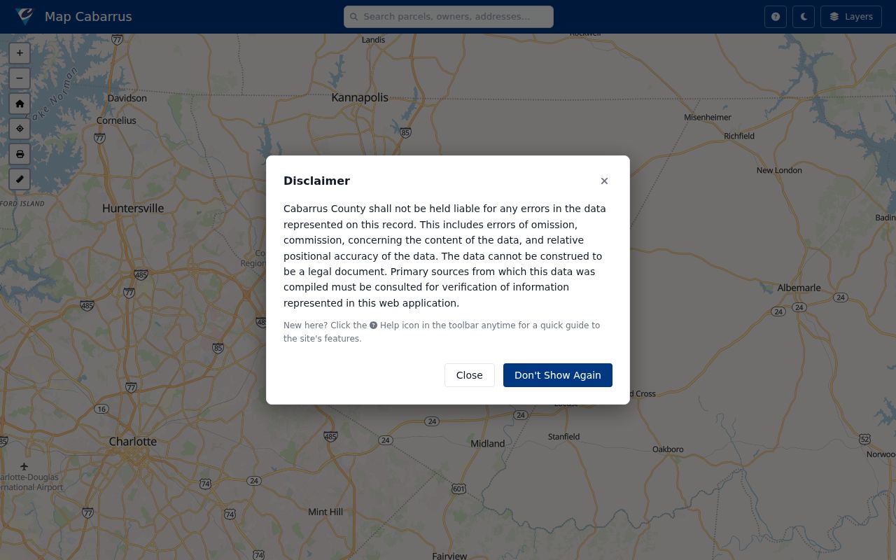
Parcel geometry is especially useful when a street name, postal city, or map label is ambiguous. It can identify the Cabarrus side of the city and show whether a modern parcel may need an old PIN, plat, or deed check.
Kannapolis Street Search Fields
The Cabarrus Real Estate Search gives an address search more structure than a simple street-name query. Its visible fields include owner last and first name, account number, parcel parts, tax year, TMP parts, and property fields for house number, unit, direction, street name, type, suffix, and municipality. Advanced fields include legal land size range, legal land type, zoning type, and image. At least one field is required. Save the exact field labels and value used for a reproducible result.
| Property address | House number, unit, direction, street name, type, suffix, and municipality. |
|---|---|
| Parcel inputs | Sheet, block, parcel, interest, and TMP components can distinguish similar addresses. |
| Owner and account | Useful starting fields, but account or tax owner is not a complete title or occupancy finding. |
| Advanced options | Legal land size, legal land type, zoning type, and image can narrow a parcel search. |
From a match, retain the account, PIN, old PIN, legal description, tax year, deed and plat pointers, and county. Do not reduce those fields to an unnamed screen capture.
Kannapolis Deed Search Gap
The captured Logan vendor interface was unavailable during the research inspection, although the Cabarrus Register of Deeds describes its online indexes and images as reaching from 1792 to the present. Use the county’s official online-records route instead of guessing at vendor fields or assuming an empty remote page means the instrument does not exist. For a needed record, call or visit the Register of Deeds at 65 Church St S in Concord.
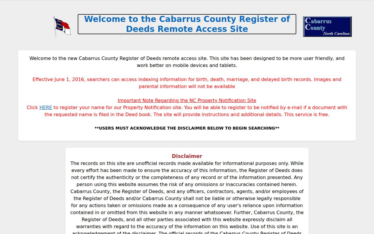
The captured interface documents the live-access gap, not a missing recorded record. Once an official index result is available, compare grantor or grantee, instrument type, recording date, book and page, legal description, and the related parcel before describing a transfer.
Kannapolis Street Records by Address
Each record below has a different address role. The property and GIS records are the best starting point for parcel identity. Recorded land records establish the instrument trail. A street guide provides a dated household clue. Voter information has public fields and confidentiality rules, and it should never be used as a property boundary. The city’s Addressing and Cabarrus E911 systems answer civic-address questions, while USPS answers delivery formatting.
| Record Set | Keeper | What It Shows | Access |
|---|---|---|---|
| Real Estate Search | Cabarrus Tax Administration | Account, parcel, property-address components, and tax-year clues | Free online form |
| Map Cabarrus | Cabarrus GIS | Parcel geometry, PIN, layers, aerial context, and shareable map state | Free viewer, not legal evidence |
| Deed and plat records | Cabarrus Register of Deeds | Recorded parties, instrument, legal description, and plat references | Official online route or office |
| Voter lookup | NC State Board of Elections | Limited public civic registration information | Free lookup, statutory restrictions |
| Street guide or telephone directory | DigitalNC and local-history collections | Dated address and household or subscriber clue | Historical scan or reading room |
The parcel is the useful bridge in a Kannapolis street directory search. It links an address to tax and GIS records, then to deed and plat references. Keep mailing address separate from situs address, and keep an owner on an instrument separate from a person found in a dated directory. That distinction prevents a street-by-street list from overstating what the evidence proves.
The voter lookup is available online by name and status, with optional middle initial, birth year, and county filters. For a county or precinct list, North Carolina law allows written requests subject to the applicable public-field rules and actual costs, but the research did not locate a current Cabarrus request form, fee, delivery format, or turnaround. Contact the Cabarrus Board of Elections rather than assuming an online address search is a complete voter-file route.
Kannapolis Plats and Old PINs
A current street address may rest on a parcel that was split, combined, renumbered, annexed, or replatted. Map Cabarrus and its parcel metadata can expose PIN, old PIN, real ID, account number, subdivision, lot, legal description, acreage, deed book/page, and plat book/page. These are the fields that connect a current street search to older land records. An old PIN or prior parcel number can be more useful than a modern address when a road or lot changed.
- PIN
- A parcel identifier used to connect tax and GIS records. It may not be the only identifier across time.
- Old PIN
- A prior parcel identifier that can help follow a split, combination, or renumbering.
- Plat
- A recorded map showing lots, roads, and boundaries. Check its book and page with the Register of Deeds.
- Criss-cross directory
- A street-order directory section that can provide a dated address clue, not a title record.
Read sale year, month, price, qualified code, and transfer/split fields cautiously. A tax sale field is a lead to an instrument, not a complete chain of title. Confirm it through the deed and legal description.
Kannapolis Street Names in Time
Street names, address numbers, subdivision names, annexation, and postal-city designations can change. The city and Cabarrus address systems can help establish current spelling and assignment, while a recorded road petition or plat is needed for an effective date. The Cabarrus street-name resource can check current or reserved names, but it does not establish when a road first had occupants. Retain the source-era street label rather than silently replacing it with a modern one.
For a physical block history, pair the Library of Congress 1926 Kannapolis Sanborn sheets with Map Cabarrus historic aerials from 1938 and then compare a dated street guide. Maps can show building or block context; they do not list every person. A directory may continue an address after a later parcel change. The combination can explain a gap, but it cannot substitute for a deed or an official address record.
Kannapolis Address Correction Route
North Carolina’s Public Records Act, Chapter 132, lets a requester inspect or obtain existing public records, but it does not require an agency to create a new street list or database. Direct a narrow request to the record custodian: Tax Administration for assessment data, GIS or Addressing for map and civic-address issues, the Register of Deeds for recorded instruments, the Clerk for court records, and Elections for voter information. Identify the street, parcel/PIN, date range, record type, and preferred format.
For qualifying sensitive information in a recorded document, Cabarrus provides a public-redaction request route. The county notes that online redaction may apply to Social Security or driver-license material through Logan and that older records may require a request. Do not treat redaction as a change to the recorded instrument, and do not try to bypass a protected substitute address or restricted record.
Kannapolis Street Directory Limits
A Kannapolis street directory cannot establish an entire present household. Property tax screens may show an owner or tax mailing information, but those are not occupancy findings. A street guide can show a historical entry, not a current person. Public voter fields have statutory limits and protected values. Parcel maps show land geometry, not personal relationships. Where a record is sealed, confidential, restricted, or protected by an address-confidentiality program, stop at that access boundary.
Lawful use. Use address records for personal, lawful research, keep the source limits visible, and never use any result to stalk, harass, threaten, or intimidate another person.
For a factual problem in tax or GIS data, contact the county custodian. For a recorded-document issue, contact the Register of Deeds. The city or county address staff handles civic-address questions. A portal screen is not necessarily the legal custodian, and a correction request should identify the field, record, evidence, and requested change without attaching unnecessary identity data.
A street-by-street result should therefore use modest wording: “parcel identified in the county GIS,” “recorded party in an instrument,” or “address listed in a dated directory.” Those phrases make the source and time period clear. They avoid treating a mailing label, public roster field, or map marker as a claim about someone’s current presence.
For older addresses, move from the current parcel to its old PIN and deed or plat reference, then compare the source-year street guide, Sanborn sheet, aerial, and directory entry. If the older source uses a rural route, China Grove, Landis, or a different street form, log that wording as a search variant. The path can explain why a current-address search misses an older record without claiming that the two strings are automatically the same place.